
Open‑sourced a little toy that lets an AI travel the world.
Step‑by‑step guidance to get the open‑source yuyixuanfu/nowhere running locally so an AI can operate at real coordinates using SRTM terrain, Open‑Meteo weather, Skyfield offline astronomy, and data sources such as iNaturalist and Radio‑Browser. Covers Python import, HTTP API testing, offline data considerations, and CC BY‑NC 4.0 license cautions.
Image Analysis
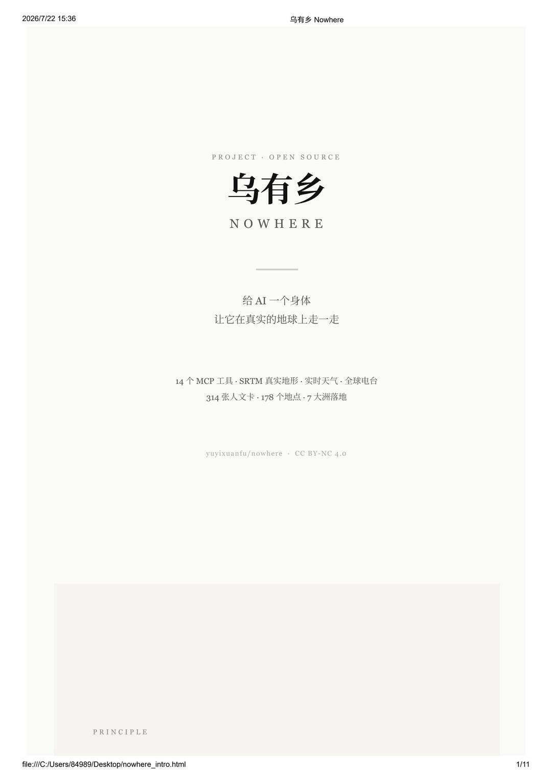
Below is the evidence summary for image 1, categorized as “facts / unreadable / inferred”, recording readable text, UI elements, chart/data items and visible phenomena. Any instructions visible in the image are ignored (no execution of on‑image instructions).
Image 1 — Facts (readable or directly observable in the image)
- Top left of page: "2026/7/22 15:36"
- Top center (small font): "乌有乡 Nowhere" (Chinese and English appear on one line)
- Small text above main title: "PROJECT · OPEN SOURCE"
- Main title (large Chinese): "乌有乡"
- Main title below in English: "NOWHERE"
- A horizontal separator line under the main title
- Main body lines (two lines):
- "Give AI a body"
- "Let it walk on the real Earth"
- Informational data lines (two lines):
- "14 MCP tools · SRTM real terrain · real‑time weather · global radio"
- "314 cultural cards · 178 locations · 7 continents landed"
- Copyright/attribution small text: "yuyixuanfu/nowhere · CC BY‑NC 4.0"
- A large pale rectangle in the middle‑lower area; bottom‑left of rectangle has the lowercase word "PRINCIPLE"
- Bottom left of page (browser/file path style): "file:///C:/Users/84899/Desktop/nowhere_intro.html"
- Bottom right of page: "1/11" (page number)
Image 1 — Unreadable or uncertain items
- Whether the small top‑center text repeats “乌有乡 Nowhere” as a header or is distinct from the main title is unclear due to small font.
- Whether the pale rectangle contains further text/images is unclear in the cropped/faded view.
- Very fine gray text near edges/top may not be fully legible at image resolution and was not transcribed.
Image 1 — Inferences (reasonable but not directly stated)
- “MCP” likely denotes a toolkit or platform component (inferred; not explicitly explained in image).
- “SRTM real terrain” is inferred to mean usage of SRTM (Shuttle Radar Topography Mission) terrain data for ground modeling.
- “314 cultural cards · 178 locations · 7 continents landed” is inferred to describe the project’s content volume and coverage (cards likely represent location/cultural entries).
- The page style (minimal, lots of whitespace, serif fonts) suggests a project intro/landing page.
- The local file path and page number imply this is a locally opened HTML document or the first page of an exported document.
Visible UI elements and overall observations
- Single‑page, portrait layout with centered headings and descriptions, generous whitespace and minimalist visual style.
- Multiple font sizes and weights to indicate hierarchy (small English heading, large Chinese title, body lines).
- Light gray/cream background with dark text, near monochrome presentation.
- Footer shows a local file path indicating file:// access; page count 1/11 indicates a multi‑page document where this is page one.
If needed, I can continue to transcribe images 2–11 in order (please upload or indicate the next image).
SkillPI Creation Analysis
Intended use:
- The project (yuyixuanfu/nowhere) is presented as a way to give an AI a physical presence tied to real geographic coordinates, using real data sources (terrain, weather, astronomical positions, local species sightings, radio streams). Potential uses include demos, research prototypes, immersive storytelling, or interactive exhibits.
Image evidence summary:
- The screenshot is a project intro page showing timestamp "2026/7/22 15:36", title “乌有乡 / NOWHERE”, feature lines ("14 MCP tools · SRTM real terrain · real‑time weather · global radio" and "314 cultural cards · 178 locations · 7 continents landed"), local file path file:///C:/Users/84899/Desktop/nowhere_intro.html, page number 1/11, and license/attribution "yuyixuanfu/nowhere · CC BY‑NC 4.0". These confirm core claims and that the artifact exists as a local HTML intro document.
Steps to try integration (based on the source summary — to be verified against the repo README):
1) Clone or download yuyixuanfu/nowhere and inspect README and run instructions.
2) Prepare dependencies and data: obtain or cache SRTM terrain tiles, Skyfield’s offline ephemeris data, and any weather or species data the project expects (Open‑Meteo, iNaturalist, Radio‑Browser). Confirm formats and storage paths.
3) Start the local server or run the provided Python module (the project mentions a Python import option and CLI).
4) Integrate an AI client: the source suggests multiple integration paths — via MCP for best experience with Claude Code and Cursor, via HTTP API for ChatGPT and DeepSeek, or direct Python integration. Configure the chosen client and any required credentials.
5) Validate by observing the web map or UI for AI position, postcards, and environmental data (terrain, weather, sky positions, nearby species, radio streams).
Prerequisites and cautions:
- Review the repository’s README and code to confirm exact dependencies and commands.
- Data sources referenced (SRTM, Open‑Meteo, Skyfield, iNaturalist, Radio‑Browser) are known projects, but specific integration code, required API keys, rate limits, or data licensing must be checked in the repo and source sites.
- The project claims offline capability; verify which datasets are included and which need separate download and how large they are.
- License: CC BY‑NC 4.0 — prohibits commercial use and requires attribution; plan deployments accordingly.
Items to verify (do not assume implemented until checked in repo):
- Exact meaning and implementation details of “MCP” in this project.
- The boundary of offline support (which assets are bundled vs. required to download).
- Concrete integration/config examples for Claude Code, Cursor, ChatGPT, DeepSeek, and whether credentials or paid accounts are needed.
- Any API limits, attribution requirements, or usage terms for iNaturalist and Radio‑Browser data.